Tradução e análise de palavras por inteligência artificial ChatGPT
Nesta página você pode obter uma análise detalhada de uma palavra ou frase, produzida usando a melhor tecnologia de inteligência artificial até o momento:
- como a palavra é usada
- frequência de uso
- é usado com mais frequência na fala oral ou escrita
- opções de tradução de palavras
- exemplos de uso (várias frases com tradução)
- etimologia
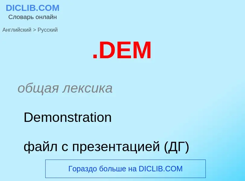
Dem - tradução para russo
общая лексика
Demonstration
файл с презентацией (ДГ)
общая лексика
Digital Elevation Model
цифровая модель рельефа, ЦМР
в ГИС - модель рельефа территории в виде матрицы высот
антоним
[dem]
эвфемизм
вместо damn
Definição
Wikipédia
The USGS DEM standard is a geospatial file format developed by the United States Geological Survey for storing a raster-based digital elevation model. It is an open standard, and is used throughout the world. It has been superseded by the USGS's own SDTS format but the format remains popular due to large numbers of legacy files, self-containment, relatively simple field structure and broad, mature software support.


.jpg?width=200)
.jpg?width=200)


.jpg?width=200)
.jpg?width=200)


.jpg?width=200)
.jpg?width=200)


.jpg?width=200)
.jpg?width=200)


.jpg?width=200)
.jpg?width=200)


.jpg?width=200)
.jpg?width=200)


.jpg?width=200)
.jpg?width=200)


.jpg?width=200)
.jpg?width=200)

.jpg?width=200)
![Allied military issue]] Allied military issue]]](https://commons.wikimedia.org/wiki/Special:FilePath/FRG-2a-Allied West Germany-1 Deutsche Mark (1948).jpg?width=200)
.jpg?width=200)
